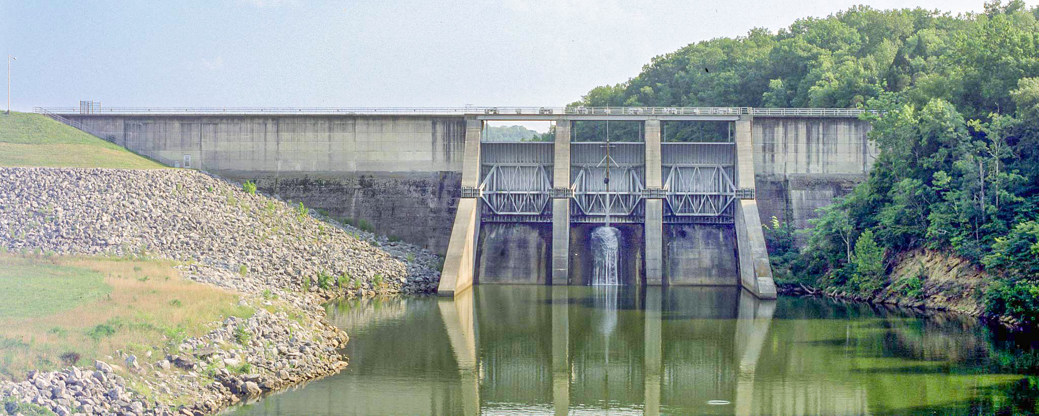
Tellico
Tellico Reservoir was planned as an extension of the nearby Fort Loudoun Reservoir. Tellico Dam generates no power but serves to divert water through a short canal into Fort Loudoun, linking the two reservoirs in their functions of flood reduction and navigation.
The two linked reservoirs help regulate flooding downstream, especially at Chattanooga. The Tellico canal also allows barges to enter the Little Tennessee River without a lock, thus significantly increasing commercial barge operations in the Valley.
Tellico is known for recreation and includes several areas that feature boat ramps, day-use areas, fishing, and campgrounds. The reservoir offers excellent trout and bass fishing.
On Tellico’s banks is a reconstruction of the original Fort Loudoun, which was built by the British during the French and Indian War. It was named for John Campbell, the fourth Earl of Loudoun, commander-in-chief of the British forces in North America at the time. Another nearby historical attraction is the Sequoyah Birthplace Museum, honoring the genius who invented the Cherokee alphabet.
Tellico: Facts & Figures
- Construction of Tellico Dam began in 1967 and was completed in 1979.
- The dam is 129 feet high and reaches 3,238 feet across the Little Tennessee River.
- Tellico Reservoir stretches 33 miles along the Little Tennessee River into the mountains of East Tennessee.
- The reservoir provides 357 miles of shoreline and 15,560 acres of water surface for recreation activities.
- Tellico has a flood-storage capacity of 120,000 acre-feet.
- Tellico Dam is not a hydroelectric facility. It has no power generators and produces no electricity. Water from Tellico, however, flows through a short canal into Fort Loudoun Reservoir and helps drive the four generating units at Fort Loudoun Dam.
