Nickajack Reservoir Land Management Plan
Reservoir Land Management Plans (RLMPs) effectively guide land use approvals, private water use facility permitting and resource management decisions on TVA-managed public land.
Nickajack Reservoir is one of eight reservoirs included in the Multiple RLMPs project which was approved by the TVA Board of Directors on August 23, 2017.
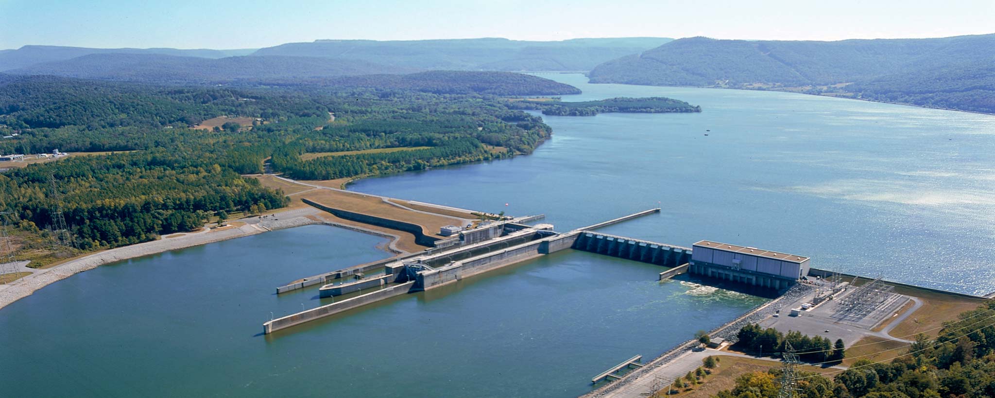
Nickajack Reservoir is an impoundment of the Tennessee River formed by Nickajack Dam, which is located at Tennessee River mile 427.7. Nickajack Reservoir is situated in Hamilton and Marion counties in east Tennessee.
On Nickajack Reservoir, Little Cedar Mountain Small Wild Area Trail (on Parcel 4) offers a challenging 4-mile hike that winds through mixed forest and rock gardens. The trail provides scenic overlooks with views of the lake and mountains, wildlife, historic rock walls, a wetland pond and beautiful wildflowers.
Scope
The scope of the Nickajack Reservoir Land Management Plan (RLMP) is the 3,604.8 acres of TVA public land shown in the map below. The Nickajack RLMP contains a regional overview, information about the environment around the reservoir and descriptions of each parcel of land. The reservoir property is divided into parcels, and each parcel is assigned a single land use allocation zone. Descriptions of the allowable land uses within each land planning zone are available here.
Nickajack Reservoir Land Management Plan
Maps
Use the GIS Viewer Map to find individual parcels and land use allocations for TVA reservoir property. Click on individual parcels to find out more information about a piece of TVA property. Please note that parcel descriptions are included in the interactive map viewer for convenience, but may have been altered from the original description due to character length restrictions. Please reference the appropriate Reservoir Land Management Plan for the complete parcel descriptions. Also, please note that parcel descriptions are representative of the time in which the plans were written; some information may be out of date such as available facilities or names of commercial operations.
Download Maps (PDF)
Reservoir Land Management Plan Viewer
How to Use the Interactive Map Viewer
Land Allocation Acreage
TVA land around Nickajack Reservoir has been allocated for certain land uses as summarized in the table below.
| Allocation Designation* | Acreage | |
|---|---|---|
| Zone 2 | Project Operations | 1,187.4 |
| Zone 3 | Sensitive Resource Management | 1,356.7 |
| Zone 4 | Natural Resource Conservation | 822.4 |
| Zone 5 | Industrial | 85.5 |
| Zone 6 | Developed Recreation | 152.1 |
| Zone 7 | Shoreline Access | 0.7 |
| Total | 3,604.8 | |
*Zone 1 is Non-TVA Shoreland with TVA land rights and does not change as a result of the lands planning process.
Environmental Review
TVA’s land planning methodology incorporates the environmental review process established under the National Environmental Policy Act (NEPA). NEPA requires federal agencies to consider the effects of their proposed projects on the human and natural environment before final decisions are made.
Final Environmental Impact Statement
It is important to note that RLMPs are programmatic plans that designate potential allowable land uses as defined in the land use zone definitions and do not involve specific land actions. TVA would complete an appropriate site-specific environmental review prior to proposed development or activity on TVA public land.